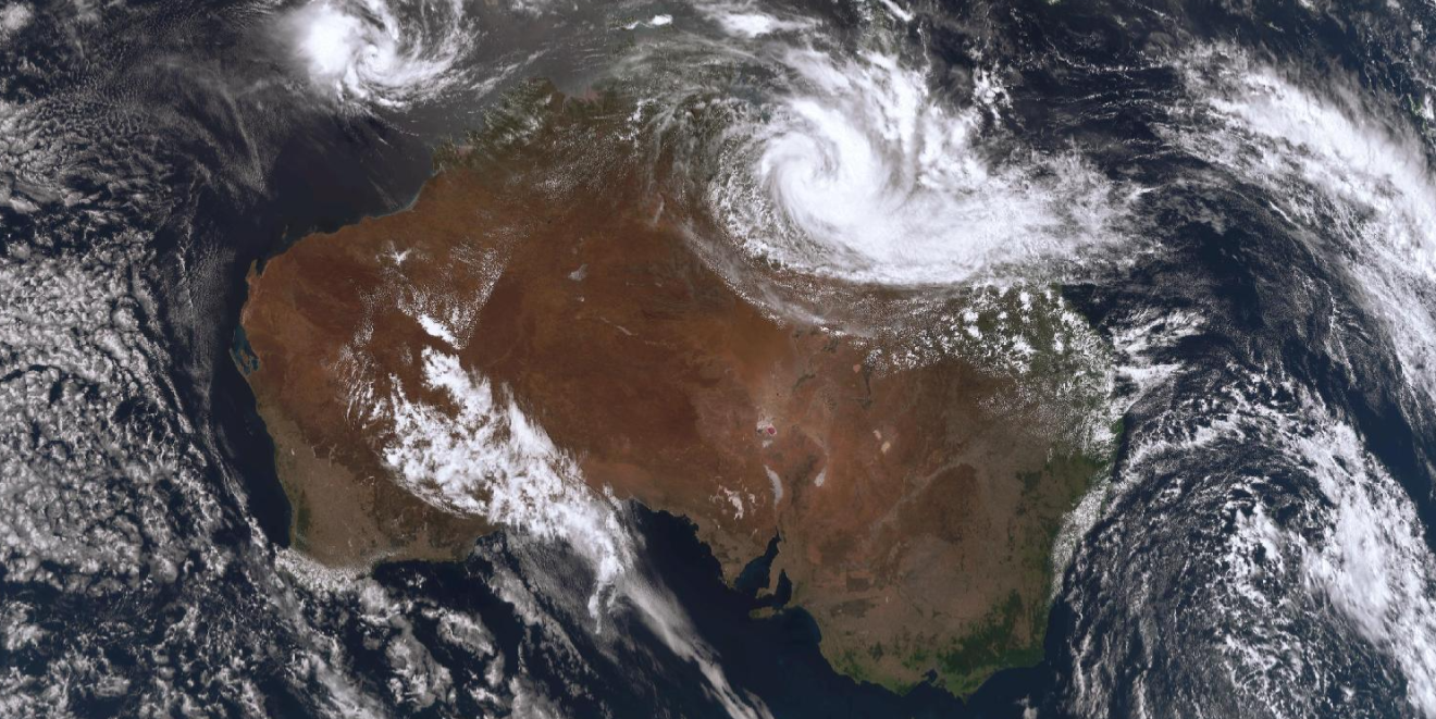
A monsoon trough could bring up to 600mm of rainfall and storms across large parts of Queensland.
The Bureau of Meteorology said the trough contains a low-pressure system, which is expected to continue strengthening as it moves from the northwest to the southeast from tonight into next week.
It is forecast to batter Cairns, Innisfail, Tully, Ingham, Mount Isa, Cloncurry, Burketown, Mornington Island, Normanton, Doomadgee, Richmond, Julia Creek, Camooweal and Croydon.
READ MORE: What the weather will be like in your city on New Year's Eve
The system could cause heavy rainfall of up to 260mm, which could cause flash flooding between Cairns and north of Townsville from tonight into tomorrow.
And up to 170mm and flash flooding are forecast in parts of the Gulf Country, Northern Goldfields and Upper Flinders, North West and Central West Forecast Districts.
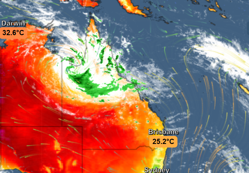
Meanwhile, in the northeast tropical coast, winds are picking up speed and damage.
Together, the monsoon trough and winds are expected to spur widespread heavy rainfall.
In the 24 hours to 9am today, 217mm of rainfall was already recorded in Cardwell Gap, making it the wettest place in Australia.
Consequently, there are flood warnings in place for the Nicholson, Leichhardt, Norman, Gilbert and Diamantin catchments and flood watches for much of the state.
The Gregory River in northwest Queensland is already at major flood levels.
Senior meteorologist Jonathan How warned conditions could continue for a prolonged time and particularly affect outback and remote communities.
"Heavy rainfall will lead to road closures and community isolation, and this could last for quite some period of time, especially for outback and more remote communities as well," he said.
"We are expecting impacts to agriculture, particularly to cattle and livestock, with low temperatures and flood waters expected to last for an extended period of time."
READ MORE: Over a dozen Aussies charged and 92 children rescued over 'horrific' operation in the Philippines
How said rainfall totals will climb over 300mm through the western parts of the state tomorrow and could reach beyond 600mm by Wednesday.
"We are expecting those four-day totals to reach in excess of, even breaching, 700 millimetres," he said.
"And rainfall won't end there."
The monsoon trough and low will then continue to move across the eastern parts of Queensland.
The Bureau of Meteorology will have a clearer understanding of where the rainfall is expected later next week.
DOWNLOAD THE 9NEWS APP: Stay across all the latest in breaking news, sport, politics and the weather via our news app and get notifications sent straight to your smartphone. Available on the Apple App Store and Google Play.