A 1000-kilometre stretch of the north Queensland coast will remain on alert today as a tropical low lingers at sea.
Meteorologists predict the chances of the weather system developing into a cyclone will intensify from tomorrow.
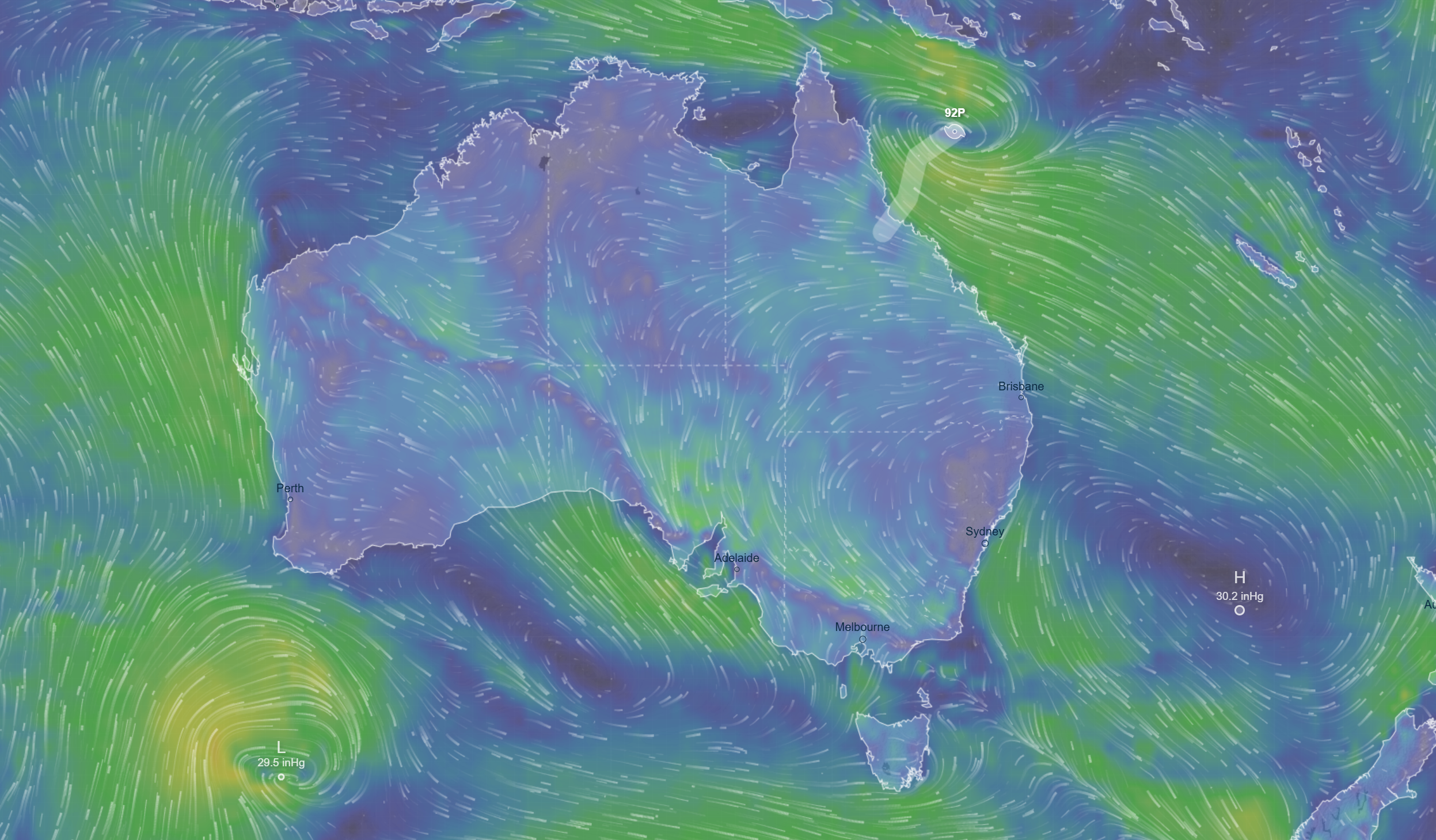
The broad monsoon low is situated north of Willis Island about 450km east of Cairns.
READ MORE: Households across five states urged to prepare for power outages
READ MORE: WA reaches nearly 50 degrees as record-breaking heatwave continues
Weather bureau mapping currently predicts the system will move west over the 48 hours toward north Queensland, potentially crossing the coast this weekend.
There is a moderate risk the system could develop into a tropical cyclone from tomorrow morning but this could increase to a 45 per cent chance from tomorrow night.
A severe weather warning has now been issued for communities all the way from Hopevale in the far north down to Hamilton Island in the Whitsundays.
The warning is for heavy rainfall with six-hourly totals of up to 200mm possible as well as damaging wind gusts of up to 90km/h.
Authorities are also concerned about flash flooding and locals are being urged to prepare their homes now.
DOWNLOAD THE 9NEWS APP: Stay across all the latest in breaking news, sport, politics and the weather via our news app and get notifications sent straight to your smartphone. Available on the Apple App Store and Google Play.